By the California Department of Public Health Team
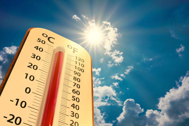
Even though summer is ending, many Californians know that the heat doesn’t always fade with the season. The fall can still bring unseasonably hot days, and these conditions continue to affect how people move through their communities. A recent study found that extreme heat is reshaping daily routines and travel patterns across the country, often discouraging active modes of transport. For many vulnerable populations, particularly those in communities suffering from historical underinvestment, travel options are limited. These populations can remain exposed to dangerous heat while traveling on foot, by bike, or waiting for transit, underscoring equity gaps in how different communities experience climate change.
A new public health tool, CalHeat Score, seeks to provide awareness of local and regional extreme heat events in California. It provides ZIP code-level heat-risk rankings based on local emergency department data, showing how people in a given ZIP code have historically sought care during extreme heat. This tool can add important support when telling your community’s story on an ATP application and when advocating for the inclusion of design features that provide users protection from extreme heat – such as those outlined in the Cool Corridors Action Guide, which offers cooling design strategies like tree canopy expansion to help reduce heat impacts and make streets more comfortable and safe for people.
Active transportation is vital for healthy, sustainable communities, yet rising temperatures challenge our ability to safely walk and bike. As climate change brings more frequent and intense heat, communities must stay prepared and take action to keep active transportation safe and accessible for all.